

Geographical Information Systems
We help clients understand their systems through accurate data, clear mapping, and tools that support better day-to-day decisions. From assisting in a Council’s understanding of their systems to aiding in an operator’s search for an isolation valve, our GIS maps make your system’s infrastructure tangible.
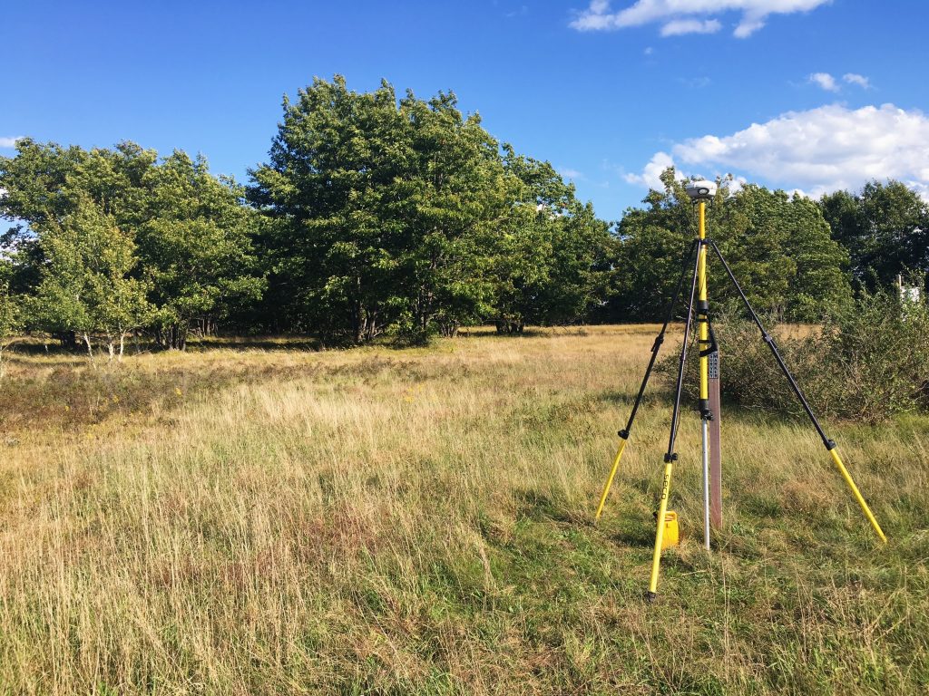
Request Live MapThe first step to any reliable system map is accurate data collection. Using tools with sub-centimeter accuracy, we pinpoint exactly where your infrastructure is located so you are sure to avoid what we call “garbage in, garbage out.”
Data is only useful if it’s easy to understand. We build maps around your system and your team, designed with the operator in mind.
The result is maps that will be used by your operators during your system’s largest emergencies, as well as improving day-to-day operations.
We believe that if your maps are not growing with your system, they will quickly lose their value. We help you keep your system data current by giving you the tools and support to update your map as you update your system.
We encourage clients to upload their as-builts and other record documents to their system map, ensuring they are geo-located and backed up for future reference.
When you need to communicate clearly to your board, regulators, or the public, we believe simplicity is the ultimate sophistication. Our exhibits tell a clear, compelling story that doesn’t require an engineer to understand.
From tracking system components to maintaining accurate records across your network, our asset management tools help you better understand what you have, where it’s located, and how it’s performing.
The result is a clearer picture of your system that allows for better supporting maintenance planning, budgeting, capital improvements, and more informed day-to-day operations.
Make your data work for you
With the right tools and accurate information, your GIS system becomes more than a map; it becomes a resource you can rely on every day.